
GPX Generator: Getting started
Signing in
Go to gpx.cgtk.co.uk. The site needs you to sign in with a Google account, so the first thing you'll see is this:
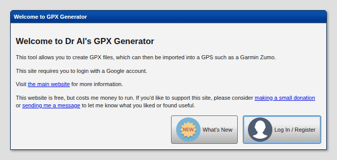
Press Log In / Register and choose your Google account. That's all there is to registering: there's no separate password for this site. Signing in is what lets you save your routes and keep your own settings.
Anyone you share a route with will need to sign in too before they can open it.
The screen
Almost all of the window is the map. Along the top is the toolbar:

| Button | What it does |
|---|---|
 Router |
Choose who works out the roads between your points: Google Maps (the default) or Mapbox. See The Mapbox router. |
 Map Style |
Choose the map you plan on, or open offline map files. See Maps and settings. |
 Open GPX |
Open a GPX file: a route to carry on editing, or tracks to show on the map. See Opening a GPX file. |
 Search |
Find a place by name or address. See Making a route. |
 Coordinates |
Put a point on the map by its latitude and longitude. See Making a route. |
 Route Info |
The distance and time of each leg, and the names of the points. See Route Info. |
 Edit Route |
Undo, reverse the route or clear it. See Undoing mistakes. |
 Save Route |
Save the route (with a name) so you can come back to it, share it and download it. See Saving a route. |
 Download GPX |
Download the route for your sat nav or phone. See Downloading. |
 Help |
This guide, what's new, getting in touch and supporting the site. |
| Logged in as ... (top right) | Your preferences, your saved routes and logging out. |
Buttons are greyed out when there's nothing for them to do yet: Edit Route until there's something on the map, Save Route until there's a route, and Download GPX until the route has been saved.
In the bottom right-hand corner of the map are a few more buttons:
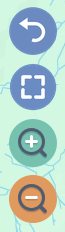
| Button | What it does |
|---|---|
 Undo |
Only there when there's something to undo: puts the route back as it was before the last change. See Undoing mistakes. |
 Full screen |
Fills the whole screen with the map, hiding the toolbar to make more room. Press  in the top left-hand corner to bring the toolbar back for a moment, and  to leave full screen. |
  Zoom in, Zoom out |
As well as the mouse wheel, or pinching on a touch screen. |
The map
Drag the map to move around it, and use the mouse wheel (or pinch) to zoom.
Your route is drawn on top of the map:
| Symbol | What it is |
|---|---|
  |
Stops: the green markers, lettered A, B, C... in the order you'll visit them. A is the start and the last letter is the end. The route between one stop and the next is called a leg. |
 |
Control points: the small white circles. They aren't places you stop, just points the route has to go through, which is how you make it take the roads you want. See Tweaking the route. |
 |
Off-road points: the bends in an off-road leg. |
If you've given a stop a name, hovering the mouse over its marker shows the name.
Menus
Most of what you do with the map is done from its menus:
- On a computer, right-click: on a clear part of the map, on the route, on a stop or on a control point. Each has its own menu.
- On a phone or tablet, press and hold (a "long press") instead.
Tapping or clicking anywhere else on the map closes a menu.
On a phone
The site works on phones and tablets as well as on computers, although planning a long route is easier with a mouse and a big screen.
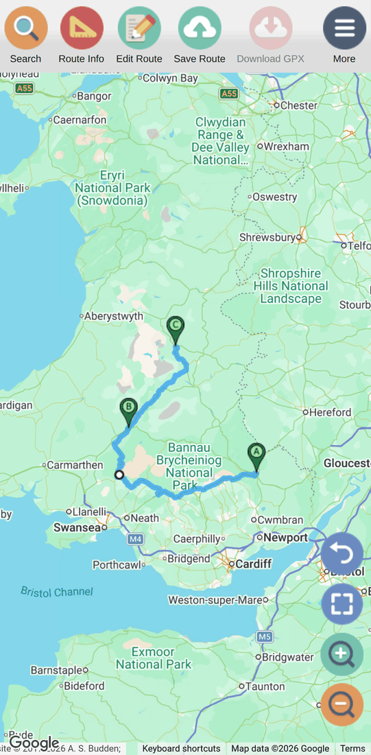
On a small screen the toolbar shows the buttons you'll use most, and the
rest are under  More:
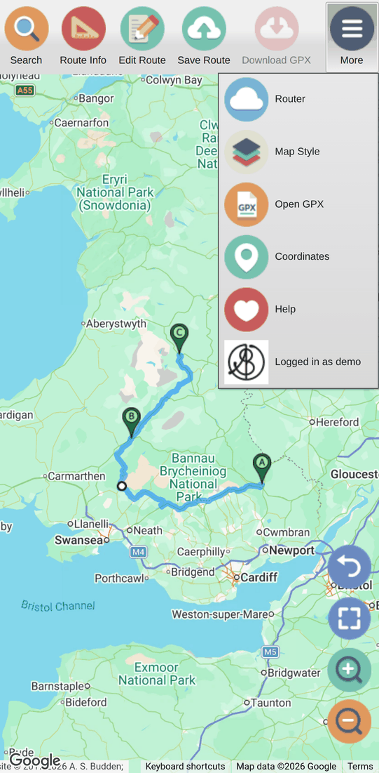
Long-press where you'd right-click on a computer:
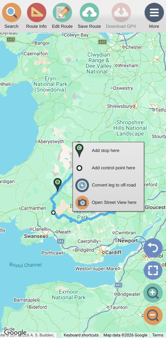
Tip: it's easy to drag the route (or one of its points) by accident when
you only meant to move the map. If you do, press
Undo.
This website is free and ad-free, but costs me money to run. If you'd like to support this site, please consider making a small donation or sending me a message to let me know what you liked or found useful.